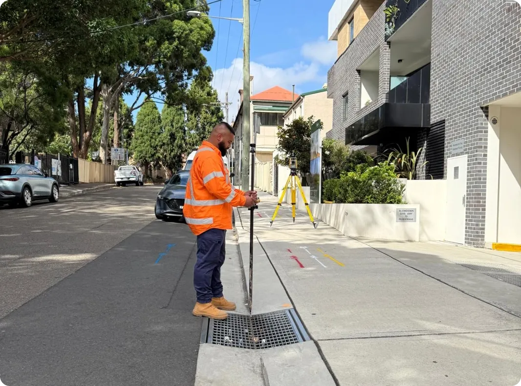
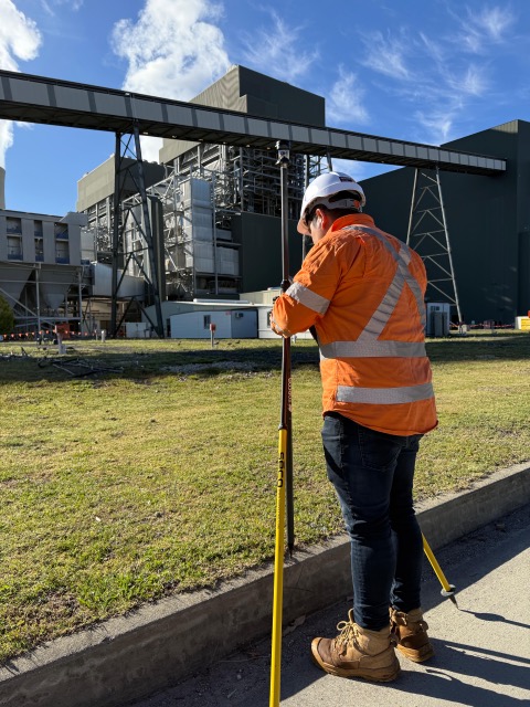
On Point Locating provides two types of utility surveys. If you only need a basic overview of your property’s utility locations, we recommend utility mapping. Mapping includes a plan of your property, including details about the locations and depths of different utility lines. Your map will be drawn over an up to date aerial image, so you can easily see where your utilities are and how they lie on your property.
...
For more in-depth services, we would perform a detailed survey. This survey provides a more expansive map of your property, including contour lines, benchmarks and reduced levels of services and features. Whatever you opt for, our team will ensure you get efficient and accurate results that provide the details you need to begin construction with peace of mind. Using methods such as ground-penetrating radars, electromagnetic locators, concrete scanning and more, we’ve helped countless clients identify underground utilities and ensure their project’s success and financial viability.
Before beginning our utility locator services, we gather existing records and any available information about the underground infrastructure. We’ll be in constant communication with you, utility owners and other stakeholders to ensure that everything is mapped and identified accurately. From there, we’ll perform the utility mapping or field survey to document all underground utilities. Once this information is collected, this data will be analysed and processed to create accurate utility maps and survey plans which we’ll share with you.
Read More